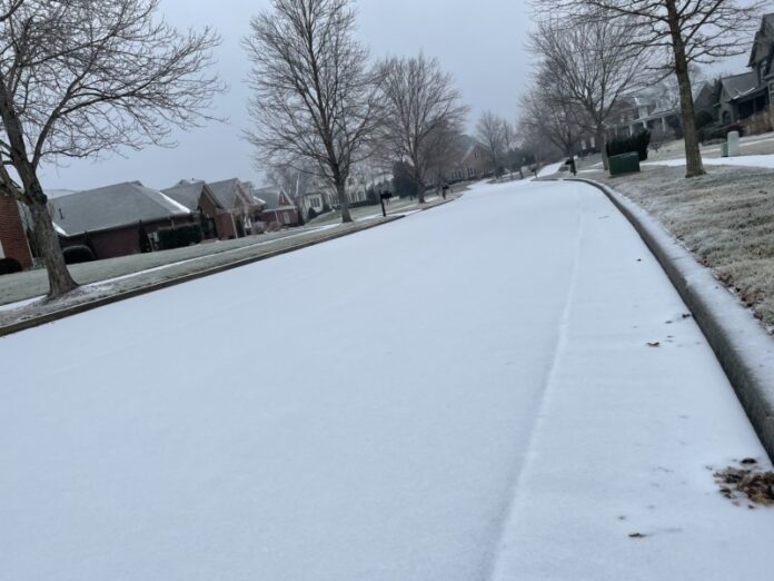
The National Weather Service is predicting a fast-moving winter storm, coming in Friday and lasting through Saturday. Here’s the latest:
Forecast Details:
• Warm weather abruptly ends after we reach the 50s and 60s Friday afternoon
• Light rain will quickly change to snow, heavy at times, starting after 6 PM
tonight and continuing through early Saturday morning
➢ Snow amounts will range from 1-3” west of I-65 to 3-6” east of I-65
➢ Travel impacts are expected, especially along and east of I-65
• Very cold temperatures Saturday and Sunday mornings, with lows in the
10s to 20s and wind chills in the single digits
• Highs on Saturday will remain in the 20s to low 30s
• Temperatures rebound quickly on Sunday with gradual warming into next
week
Live Weather Radar
Key Forecast Points:
Areas Impacted: All of Middle Tennessee, with the greatest impacts likely east of I-65.
Timing: Rain will quickly transition to snow, beginning in the northwest after 6 PM. The
the heaviest snow will be between 9 PM tonight and 3 AM Saturday, with snow moving
east of the area by daybreak Saturday morning.
Impacts: Widespread 1 to 5+ inches of snowfall is expected. Locally higher amounts
are possible, especially where narrow bands of heavy snowfall develop…primarily along
and east of I-65. Despite warm ground temperatures, snow will accumulate quickly on
grassy and elevated surfaces, followed by roadways as snow continues and
temperatures drop.
Live Traffic Map
Confidence: Models are in great agreement this morning, boosting our confidence in
the likelihood of accumulating snow and hazardous travel impacts late tonight into
Saturday morning. The greatest impacts will be along I-65 and to the east, toward the
Cumberland Plateau.


